 Analyzenn
Characterise site conditions
Build the statistical portrait of a site: distributions, seasonality, persistence, correlations between wind, waves and current.
Metocean AnalysisThe concept
"Metocean" is a contraction of meteorological and oceanographic. The term covers the physical conditions of the marine environment at a given site: what the atmosphere does above the water, what the water itself does, and how the two interact.
At sea, separating meteorology from oceanography makes no operational sense. Wind raises the wind sea, which then travels as swell thousands of kilometres from where it was generated. Tide and current reshape those waves, sometimes violently when they run against them. A depression raises the water level well beyond the predicted tide. An offshore project experiences all of this together, never separately.
Metocean is therefore less a discipline than a point of view: that of the structure or the vessel, which only ever feels the resulting load.
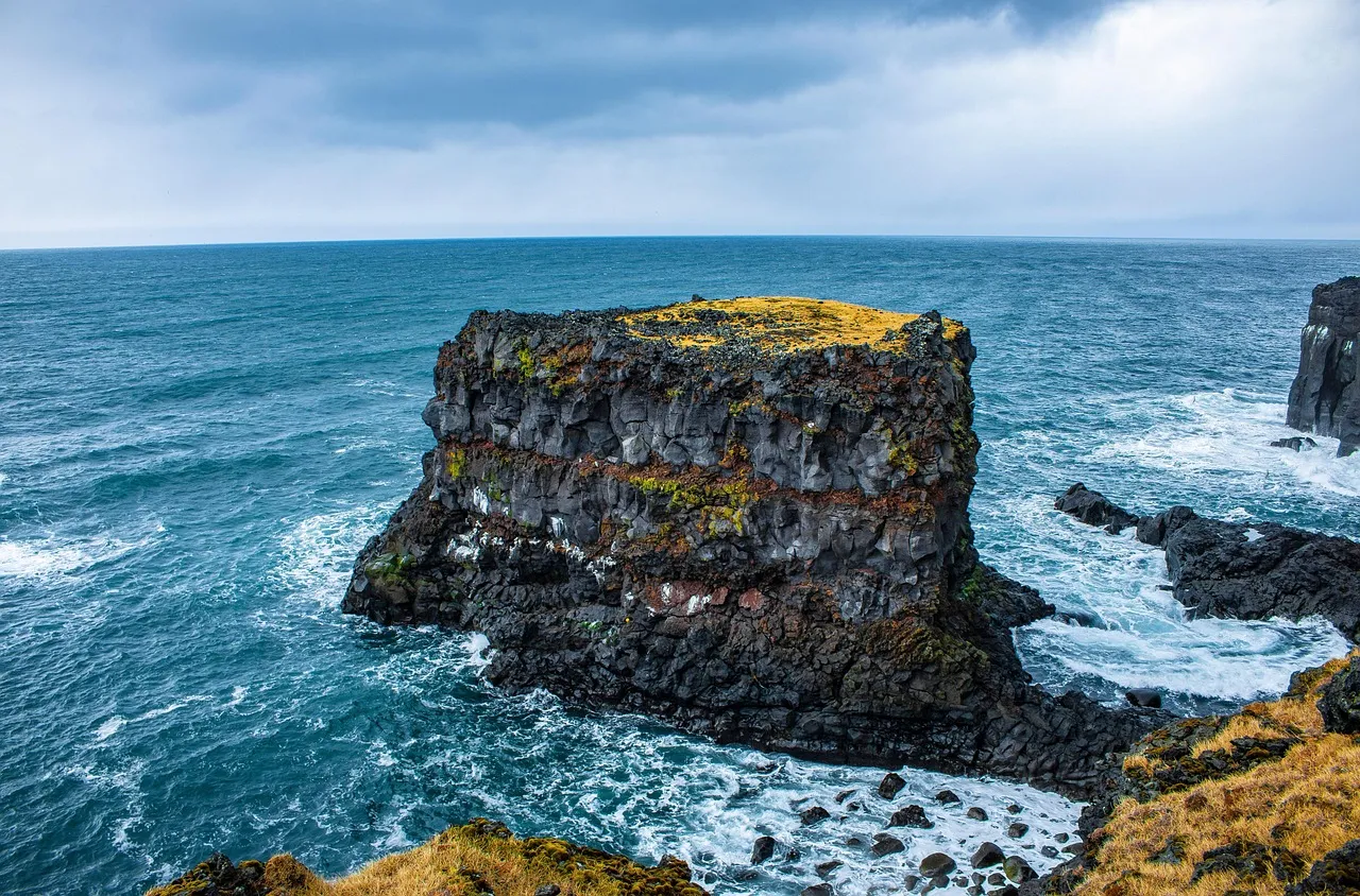
Metocean engineering is the practice of turning that raw environmental picture into engineering inputs: design criteria, operational thresholds, weather windows. Ametocean engineer combines oceanography, statistics and knowledge of offshore structures and operations to translate site conditions into numbers an engineering team can use with confidence.
Many offshore projects call on an independent metocean consultant for this work, rather than building the capability in-house.
In practice
Build the statistical portrait of a site: distributions, seasonality, persistence, correlations between wind, waves and current.
Metocean AnalysisTurn numerical model output into a go/no-go call for a specific operation and a specific threshold.
Weather ForecastExtrapolate beyond the observations to state return periods and design values, with their uncertainty.
Extreme Value AnalysisParameters
| Atmospheric side | Ocean side |
|---|---|
| Wind: speed, direction, gusts, vertical profile | Swell and wind sea: significant height, period, direction, spreading |
| Atmospheric pressure | Surface and subsurface currents |
| Air temperature, humidity | Water level: astronomical tide, storm surge |
| Visibility, precipitation | Temperature, salinity, stratification of the water column |
| Extreme events: storms, cyclones | Bathymetry, ice occurrence, marine growth |
Not all of these variables matter for every project. A well-scoped study rules out the ones that carry no weight in the decision, and concentrates the effort on the few parameters that actually drive it.
Sources
Four families of sources coexist, with opposite strengths. None of them is sufficient on its own.
Wave buoys, ADCP current profilers, tide gauges, measurement masts. This is the reference, the only direct observation of the site. It is also the scarcest: a campaign rarely exceeds one or two years and almost always contains gaps.
Altimetry and scatterometry give global coverage of wind and wave height. Temporal resolution stays coarse and the data degrades as you approach the coast.
Wave and ocean circulation models (WAVEWATCH III, HYCOM) and atmospheric models (WRF) produce fields that are continuous in space and time. They carry biases that must be quantified and then corrected against the available measurements.
A reanalysis such as ERA5 replays several decades with a constant model and assimilation method. It is the only way to obtain a long, homogeneous series, which is a precondition for estimating any rare event.
An example of reconstructed data: wind from the ERA5 reanalysis and waves from a wave model, combined at a single point in the Iroise Sea during storm Ciarán (November 2023). Wind peaks above 33 m/s on 2 November; waves reach their maximum a few hours later and take four days to subside, long after the wind has dropped.
This is exactly where the work happens: cross-checking these sources, quantifying the bias of each, correcting models against available measurements, filling gaps without manufacturing information. Usable metocean data is always reconstructed data, and that reconstruction has to be documented to be defensible.
Uses
An operation is planned on a window, not on an average. You need to know how long conditions will stay below your thresholds, and with what confidence.
Weather ForecastBefore designing or investing, you need a statistical portrait of the site: distributions, seasonality, persistence, correlations between wind, waves and current.
Metocean AnalysisA structure is designed against what almost never happens. That means extrapolating beyond the observations, and stating the uncertainty of that extrapolation explicitly.
Extreme Value AnalysisA metocean study produces numbers that drive decisions costly in both directions. Overestimating conditions leads to oversizing a structure or giving up workable intervention windows. Underestimating them exposes the asset and the crews. The gap between the two is measured in vessel standby days and in tonnes of steel.
That is why a few points deserve particular vigilance.
Tell us the context: the site, the deadline, the criterion you need to meet. Analyzenn will set out what the data can support, with which method and on what timeline. First conversation, no commitment.